Flat Hilly Mountain Individual Time Trial Team Time Trial
7
Mountain Friday, 7 August 2026 Starts 13:15 CEST

La Voulte-sur-Rhône  Mont Ventoux

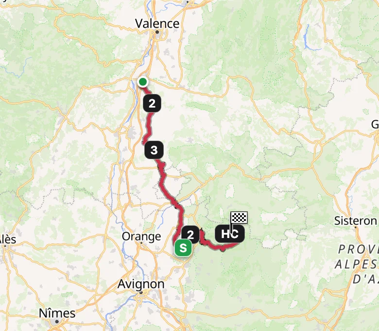
South through the Ardèche hills and the Dentelles de Montmirail to the valley approach at Bédoin. From there the Ventoux climb runs 15.6km at 8.6% to the summit, the highest finish of the race and the mountain's first appearance in the Tour de France Femmes.

Distance
146.8km
Elevation
3,427m ↑
Categorised Climbs
4
Finish
Summit
Route Map
Tour de France Femmes 2026 Stage 7 route map OpenFreeMap © OpenMapTiles Data from OpenStreetMap
Elevation Profile

Hover or drag across the profile to read distance, altitude & gradient — the dot tracks the route on the map above.

All categorised climbs

Decisive zone The final climb

Start & finish
Départ

La Voulte-sur-Rhône

A small Ardèche town on the Rhône, its castle above the river.

Arrivée

Mont Ventoux

The Giant of Provence, its bare limestone summit crowned by the weather tower.

Ride this stage

Push the route to your Intervals.icu calendar and ride the stage yourself, or grab the GPX from the event page for your head unit.

build d539963